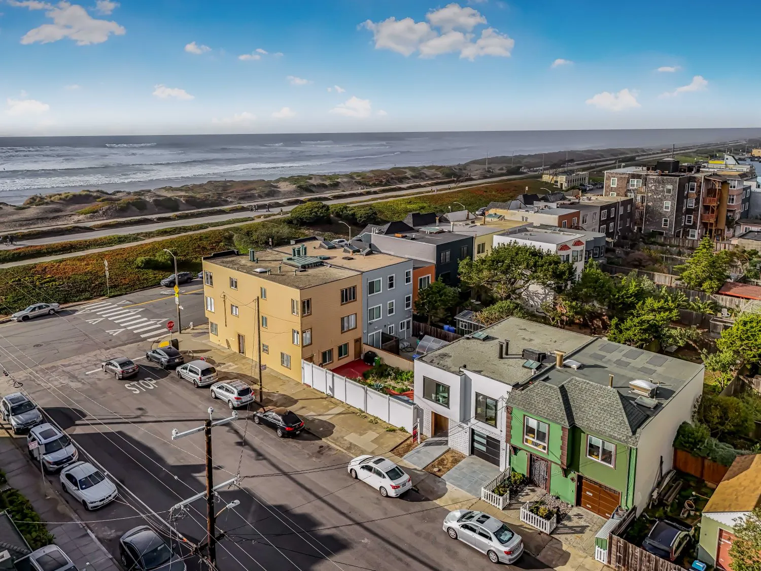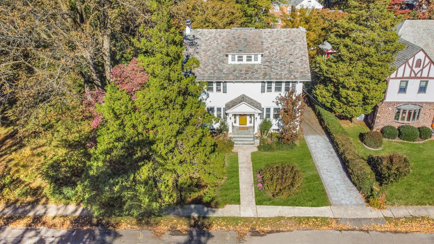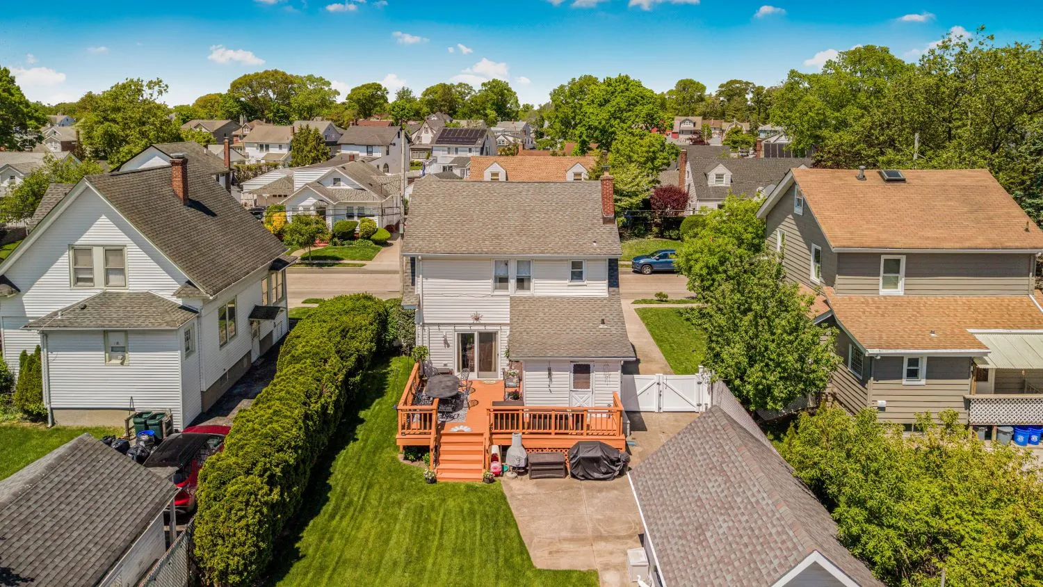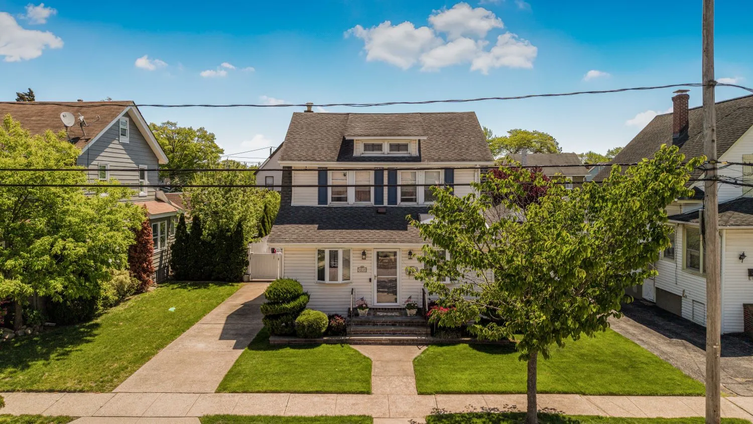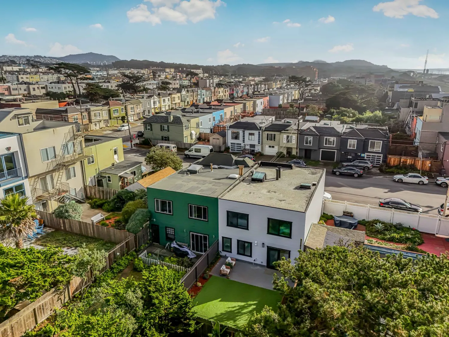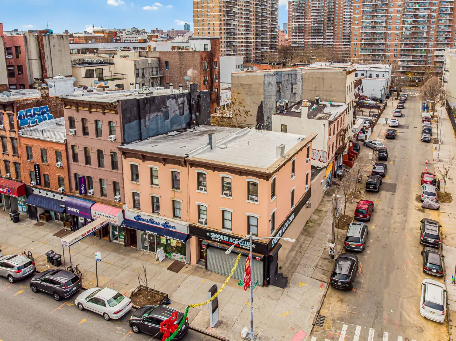
Capture breathtaking aerial images that highlight your property’s location, size, surrounding amenities, and unique features. Team PicPros provides professional Aerial Photography for residential, commercial, and luxury properties across New York City, helping listings attract more attention, generate stronger buyer interest, and stand out in a competitive real estate market.
Some properties deserve more than ground-level photography. Aerial photos provide buyers with a complete view of the property, showcasing lot boundaries, landscaping, nearby parks, waterfronts, neighborhoods, and surrounding attractions.
At Team PicPros, we offer FAA-compliant drone photography services for real estate agents, brokers, builders, developers, property managers, and commercial property owners throughout Manhattan, Brooklyn, Queens, the Bronx, Yonkers, and Long Island.
Aerial photography gives buyers a complete view of the property's layout, lot size, landscaping, parking, and outdoor features—details that are difficult to capture from the ground.
Showcase nearby parks, schools, waterfronts, business districts, transportation, and neighborhood attractions to help buyers understand the property's surroundings and lifestyle benefits.
Professional drone photography adds a premium touch to your marketing, helping listings attract more attention and creating a stronger first impression across MLS platforms and real estate websites.
Aerial images provide valuable context by showing property boundaries, nearby roads, neighboring properties, and the surrounding environment, allowing buyers to make more informed decisions.
Our drone photography service delivers stunning, marketing-ready images that help properties stand out online.
Aerial real estate photography uses professional drones to capture high-resolution images of a property from above, providing buyers with a unique perspective of the home, lot, neighborhood, and surrounding amenities.
Yes. Our drone operations follow FAA regulations and are conducted where permitted, with all required safety and compliance measures in place.
Most aerial photography projects are professionally edited and delivered within 24 hours, allowing you to market your property without delay.
Absolutely. Many clients pair aerial photos with professional photography, real estate videos, virtual tours, floor plans, and virtual staging to create a complete real estate marketing package that maximizes listing visibility and buyer engagement.